
14-21 of October, Mickey and I visited the small beach resort Agia Marina, Crete, not far from Chania. We travelled with TUI and stayed at Atlantica Caldera Village, room no. 212 with a great view from the balcony, overlooking the village, sea and the island Agioi Theodoroi, a nature reserve inhabited by the Kri-Kri goat.

Here follow some stories and pictures of what we did during our stay, enjoy.
Walkabouts:
Beach walk Agia Marina – Palatinas, 8 km.


Hill walk Agia Marina – Cave Nerospilia, 8 km. (the cave was closed)


Beach walk Agia Marina – Chania, 11 km.

Chania is the capital of the Chania regional unit. It lies along the north west coast and consists of the city itself and several nearby villages.
On the way we had a break at Iguana Beach and passed Abandoned Graffiti House,
In Chania we walked along the Venetian Port, where we had lunch. We took the bus back to Agia Marina.


Bus day to Elafonisi:
Monday we went on a bus trip to the beach Elafonisi. The trip went via the gorge Topolia and a stop at Cave Agia Sofia (Wisdom of God) before we reached Elefonisi.
Here we spent a couple of hours walking around, swimming and relax on the beach. Elafonisi is an island when the tide is high and famous for it’s pink “sand”, that actually is seashells. Since many tourists have taken the sand with them home, there isn’t much left. The authorities have strengthen the rules and set high penalty for removing the sand.
Many thanks to our guide Joanna, who told many good stories about the culture of Crete and the scenery we passed through.
Beach walk at Elafonisi, 2 km.


Rent-a-car day:
Wednesday we rented a VW Up from a local travel agency, Beyond Travel, on the main street in Agia Marina.
The journey: Agia Mariana – Gorge of Imbros – Hora Sfakion – Frangokastello – Giorgioupoli – Kourna Lake – Agia Marina.

The gorge of Imbros is the second most popular gorge, after Samaria. for walkers on Crete. The gorge of Imbros was the main route through which Allied Forces evacuated Crete in late May 1941 after losing the Battle of Crete. Close to 20.000 troops (mainly New Zealanders, Australians and Brits) headed from the North of the island through the gorge of Imbros to Komitades and Hora Sfakion where they were due to be picked up by ships and taken to Egypt. About 13.000 made it onto ships. The rest were made prisoners by the Germans or escaped to the hills. There is a monument in Hora Sfakion commemorating these events.
Hora Sfakion is a small village with a main harbour front of tavernas, two minimarkets, a butcher, and a bakery. There is a quiet local beach immediately west of the village, and several pebbly beaches nearby. Hóra Sfakíon has a variety of tourist accommodations: rooms, studios, and apartments. The local economy is based on tourism, fishing, olive-oil production, and sheep and goat herding.
28 May – 1 June, 1941, British and Australian forces was evacuated from this bay after passing the the gorge of Imbros.
Frangokastello is a castle and scattered settlement on the south coast of Crete. The castle was built by the Venetians in 1371–1374 as a garrison to impose order on the rebellious Sfakia region, to deter pirates, and to protect Venetian nobles and their properties.
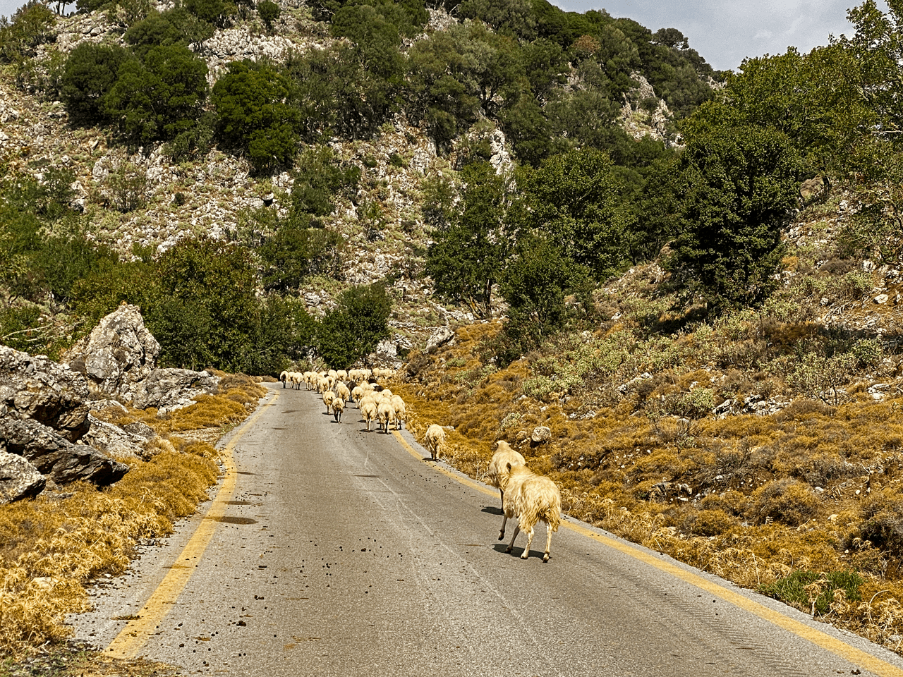
Returning to the north coast, Mickey found an alternative way on Google Maps. A small winding road with around 25 hairpin turns. I admit I was little nervous driving up this road. Very steep, narrow, no crash barrier, parts of the road broken and fallen off on one side, stones and rocks fallen on to the road on the other. Glad we didn’t meet any cars…

Due to the narrow road and suffering from a little bit anxiety, I “forgot” to take photos of the beautiful scenery. Found this picture on Google Maps.

Credit: Wolfgang Johannes
Formerly a small fishing village, Georgioupolis is more of tourist town now. The town square is surrounded by outdoor seating. The 9 km beach is the main attraction of the area with the church of Agios Nikolaos on the islet with the same name. Here you also find a small harbor at Turtle River, where you can rent different kind of boats to go up the river or out on the sea.
Nearby Kourna Lake is a popular excursion.
Kourna Lake is the only natural freshwater lake on Crete. It covers an area of 579 acres and maximum depth reaches 22 meters. The lake is a protected area as an important wetland with many species like moorhens, ducks, eels, snakes and a rare two-color turtle and occasionally herons.


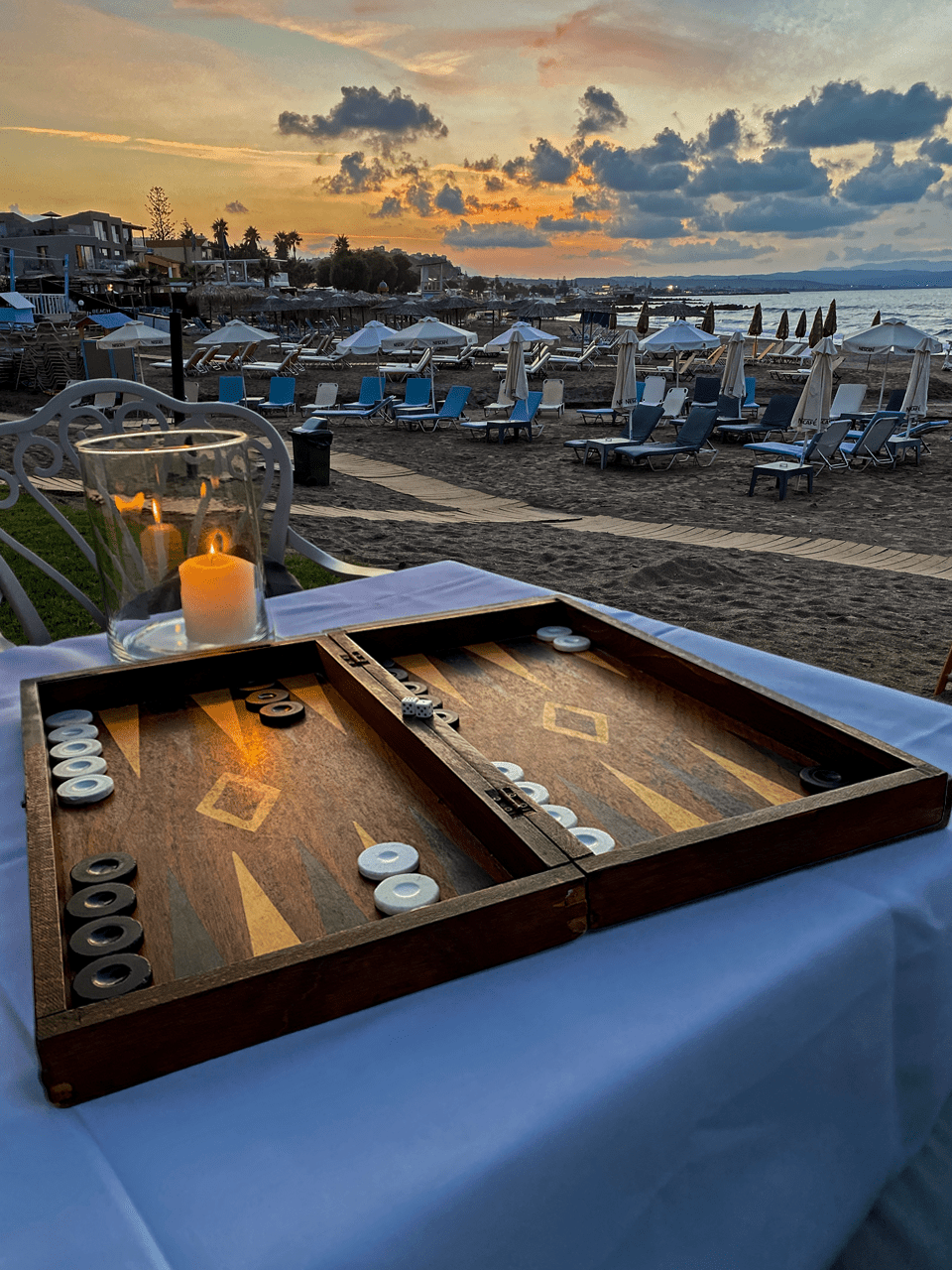
Beach day:
A day spent at Gorgona Beach Club with sun, backgammon and bodysurfing in the quite big waves. Thanks to Director Alex and staff, for friendly and good service (and for use of your backgammon).


Restaurants Agia Marina:
These are the restaurants we tried. Dessert and raki served was the custom when paying the bill. “Raki is like Ouzo, but worse” – statement from a waitress.
- Botonis – Grilled pork chops. The wood fired “globe grill” was standing in the restaurant
- Neraida – Mixed grill, more than enough for two (got doggie bag for lunch next day)
- Nostos – Ingo: Moussaka, Mickey: chicken gyros
- Olivi – Both had very nice beef steaks with great “potato salad” (potato mixed with garlic, lemon and parsley)
- Gorgona Beach Restaurant – Ingo: Pork gyros, Mickey: burger. Beautiful sunset
- Meraki – Ingo: 3 kinds of meat in wrapped and cooked in paper, Mickey: steak.


Jamas!


